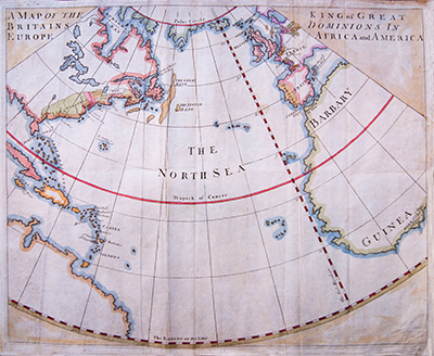
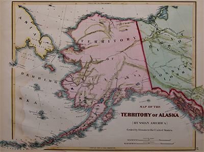
Europe, Africa and America, the King of Great Britain’s Dominions, Bowen, c1720.
£1,800.00
SKU: MAAM0126
Category: North America
370mm x 446mm
- Description
Description
Description
Original antique engraving, hand coloured with watercolour.
Showing the English empirical reaches on a circular projection.
Including the Atlantic Ocean, England, Ireland, France, Spain and Portugal. The West coast of Africa and the East Cost of America: New England, Virginia, Pensilvania, Carolina, Newfoundland, New York and the Golf of Florida.
By Emanuel Bowen (working 1714-1767) an English map engraver who served as Royal Mapmaker to George II of England and Louis XV of France.
Date, c1720
Related Products
