0 ITEMSView basket
- Description
Description
Description
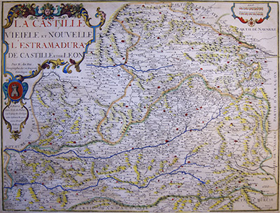
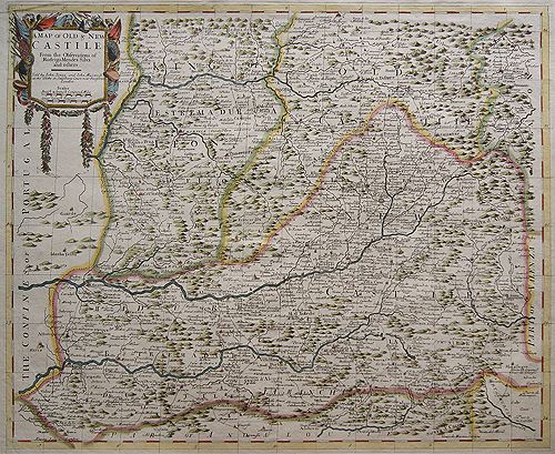
Map of La Castille
Detailed map of Castille, Estremadura and Leon.
Original antique engraving, hand coloured in watercolours.
Engraving by Nicolas de Fer, official geographer for Philip V and Louis XIV, the kings of Spain and France.
Date: 1706
Related Products
