- Description
Description
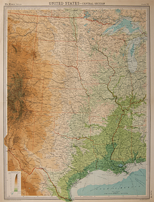
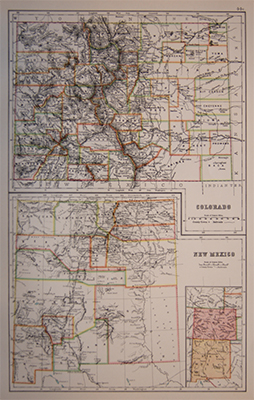
Antique map of United States, with original printed colour.
Showing North Dakota, South Dakota, Minnesota, Nebraska, Iowa, Kansas, Colorado, Missouri, Illinois, Chicago, Lake Superior, Oklahoma, Arkansas, NewMexico,Texas, Louisiana, Mississippi and Tennessee.
Prepared by The Edinburgh Geographical Institute under the direction of John George Bartholomew for The Times Atlas.
Published: c1920
Related Products
