- Description
Description
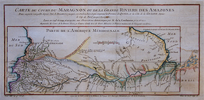
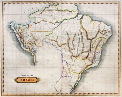
Carte du cours du parangon ou de la grande rivière des amazones
Detailed copper engraved map showing the course of the Amazon River from the Andes to the Atlantic by Jacques Nicolas Bellin based on work by Charles Marie de la Condamine.
Showing Peru, Ecuador, Colombia, Venezuela, Brazil, Guyana, Suriname, Brazil and French Guiana.
This map was published in “Histoire Generale Des Voyages” and printed between 1758 -1775.
Charles Marie de La Condamine was a French explorer, geographer, and mathematician. He spent ten years in present-day Ecuador measuring the length of a degree latitude at the equator and preparing the first map of the Amazon region based on astronomical observations.
Belin (1703 – 1772), a French mapmaker, was named the hydrographer (chief cartographer) to the French Navy, and later, the Official Hydrographer to the French King. During his term as Official Hydrographer, the Depot was the single most active center for the production of sea charts and maps, including a large folio format sea-chart of France, the Neptune Francois. He also produced a number of sea-atlases of the world, e.g., the Atlas Maritime and the Hydrographie Francaise. These gained fame, distinction, and respect all over Europe and were republished throughout the 18th and even in the succeeding century.
Related Products
