0 ITEMSView basket
- Description
Description
Description
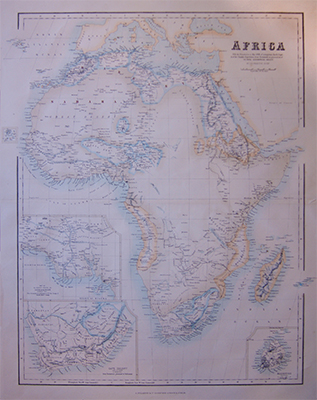
Original antique map of Africa by G. H. Swanston.
“With the discoveries to May 1858 go Livingston, Bath, Vogel and of the Chadda expedition, from documents in possession of The Royal Geographical Society.”
With inlays of Mauritius, Cape Colony and the regions around the Niger Delta.
Printed 1870 by A Fullarton.
Related Products
