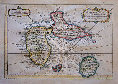
Antigua, Jefferys, 1775, Fine Art Reproduction
£150.00
SKU: MAAM0136
Category: North America
620 x 500mm
- Description
Description
Description
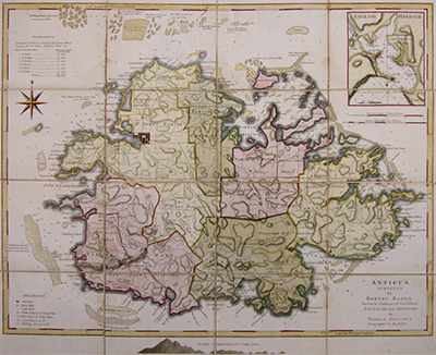
Map of Antigua from The West-India Atlas.
Surveyed by Robert Baker, Surveyor General of that Island. Engraved and improved by Thomas Jefferys, Geographer to the King.
Divided into Parishes with a key at the top left observing the size of each parish in acres.
At the top right is a magnified view of English Harbour, showing Freemans bay and a section of land for the use of the Navy.
This is a fine art reproduction of a map published 1775.

