- Description
Description
Description
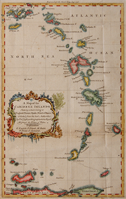
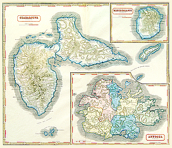
Hand coloured, antique map of some Caribbean Islands.
Including the British Virgin Islands, Anguilla, Antigua and Barbuda, Montserrat, Guadeloupe, Dominica, Martinque, St Lucia, St Vincent and the Grenadine, Barbados, Grenda, Trinidad and Tobago.
Collected from the best authorities by Tho. Jefferys geographer to his Royal Highness the Prince of Wales.
Published in 1756.

