0 ITEMSView basket
- Description
Description
Description
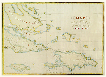
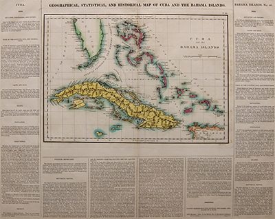
Geographical, Statistical, and historical map of Cuba and the Bahama Islands.
Including written information about:
Situation, boundaries and extent.
Face of the Country, soil and productions.
Capes and bays.
Islands.
Population.
Chief towns.
Religion.
Political importance.
Historical sketch.
Printed by J Barfield pinter to his Royal Highness the Prince Regent.
Published 1813
Related Products
