0 ITEMSView basket
- Description
Description
Description
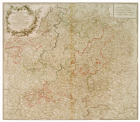
Cercle de Franconie was an Imperial Circle established in 1500 in the centre of the Holy Roman Empire
Original hand coloured antique copper engraving by Robert de Vaugondy (1723 – 1786), the son of Gilles de Vaugondy (1686 – 1766) the Royal Geographer to the King of France. Robert assisted his father with his Atlas Universel published in 1757 and Amerique in 1767. Robert too became Royal Geographer in 1760. His maps are noted for their accuracy to geographical detail as well as their flamboyant cartouches.
Published, 1752
Related Products
