£145.00
535 x 370 mm
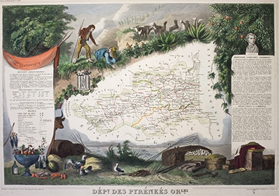
An antique map ‘Des Pyrenees’ by Victor Levasseur, published for The Atlas National de France. Hand coloured and illustrated with decorative vignettes. Illustrated by Raimond Bonheur. Date: c1845