- Description
Description
Description
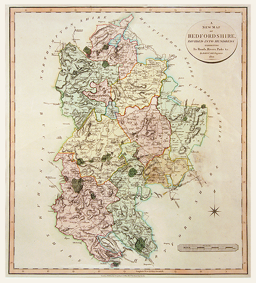
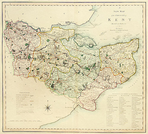
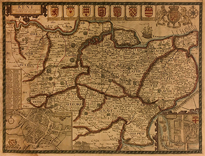
Original antique cooper engraved map in wonderful original colour, 1804. Described in Antique Maps of Great Britain as large handsome and detailed county maps. The first county maps to show longitudes based on the meridian of Greenwich Observatory. Smith’s maps were used as the model for Cary’s New English Atlas of 1809.
Related Products
