- Description
Description
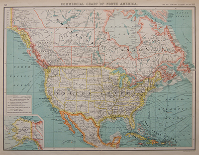
Commercial Chart of North America
Map of North America by John Bartholomew for The XXth Century Citizen’s Atlas.
Showing the United States of America, Canada, Mexico, Cuba, Jamaica. The Dominican Republic, and the West India Islands. With an inset map of Alaska.
With information on railway lines, canals, ocean steamer routes and submarine cables.
Published: 1901

