- Description
Description
Description
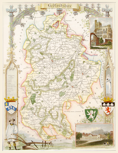
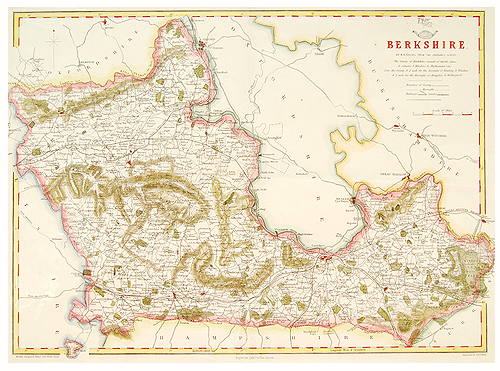
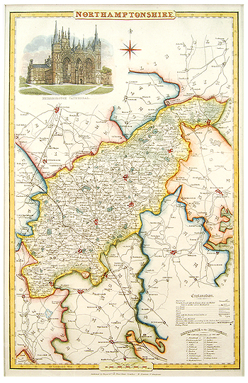
Pigot & Son produced a very finely engraved series of oblong county maps for their various National Commercial Directories and these were issued collectively as “Pigot & Co’s British Atlas” in 1831.
These maps are detailed and attractive, showing the country at the height of the canal age, and each is decorated with a fine vignette of the principal cathedral or church in the county. Hand coloured steel engraving. Date: 1831
Related Products
