0 ITEMSView basket
- Description
Description
Description
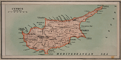
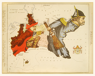
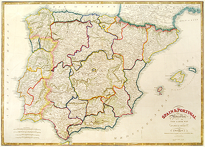
Original antique map published by Hodder & Stoughton, 1869.
Cartographer William Harvey.
William Harvey (pseud. “Aleph”) is believed to have produced this atlas for his daughter when she was ill and in order to both amuse and to provide a certain amount of geographical knowledge.
These maps are now getting hard to find and are no longer looked upon as just novelties but very collectable items.
Size of print: 265 x 210 mm
Related Products
