Log In
Search
Home
About
Products
Framing
0
Cart
0
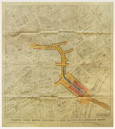
Proposed Plan For Charing Cross, c1864
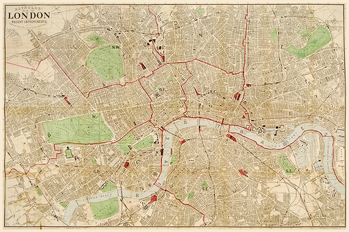
Reynolds Map of London, c1875
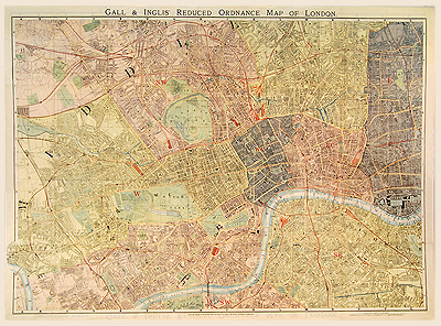
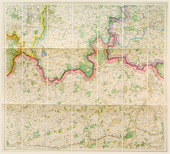
Reduced Ordnance Map of London, c1890
£
320.00
SKU:
MALO0126
Category:
London
690 x 980 mm
Add to basket
Facebook
Twitter
LinkedIn
Google +
Pinterest
Email
Add to wishlist
Description
Description
Gall & Inglis “Handy Map.” Date: c1890
Related Products
Out of stock
Add to wishlist
Quick View
London
A Plan of the cities of London, Westminster and Southwark, c1858
£
650.00
Add to wishlist
Quick View
London
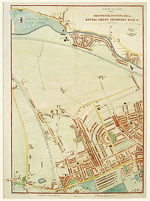
Bayswater, Notting Hill, Kensal Green & Shepherds Bush, Cassell, c1865
£
260.00
Add to wishlist
Quick View
London
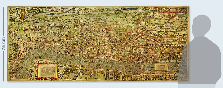
Civitas Londinum, "Agas London" c1561 (publ. 1874)
£
6,000.00
Add to wishlist
Quick View
London
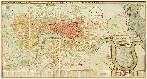
Darton Map of London 1814
£
1,300.00
Add to wishlist
Quick View
London
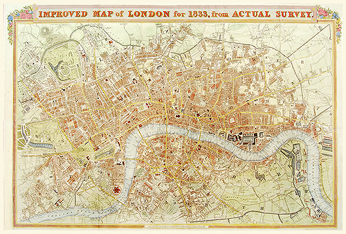
Improved map of London for 1833, from Actual Survey
£
900.00
Add to wishlist
Quick View
London
London, c1900
£
175.00
has been added to your cart.
View basket
Checkout
Home
About
Products
Framing