Log In
Search
Home
About
Products
Framing
0
Cart
0
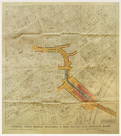
Proposed Plan For Charing Cross, c1864
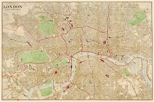
Reynolds Map of London, c1875
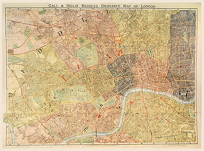
Reduced Ordnance Map of London, c1890
£
320.00
SKU:
MALO0126
Category:
London
690 x 980 mm
Add to basket
Facebook
Twitter
LinkedIn
Google +
Pinterest
Email
Add to wishlist
Description
Description
Gall & Inglis “Handy Map.” Date: c1890
Related Products
Add to wishlist
Quick View
London
Bacon's Ruby Map of London, c1900
£
180.00
Add to wishlist
Quick View
London
Bassishaw Ward & Cripplegate Ward, Hogg, 1784
£
145.00
Add to wishlist
Quick View
London
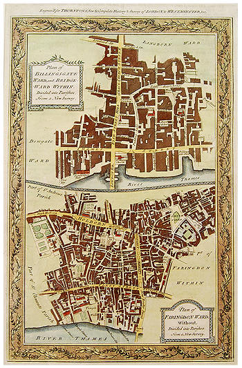
Billingsgate and Farringdon Wards, Hogg, 1784
£
145.00
Add to wishlist
Quick View
London
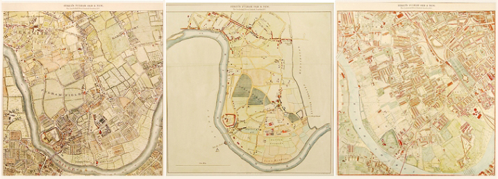
Fulham, Set of three, 1741, 1913 & 1892
£
1,600.00
Add to wishlist
Quick View
London
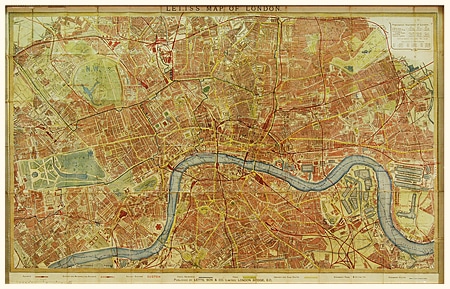
London, Lett, 1870
£
320.00
Add to wishlist
Quick View
London
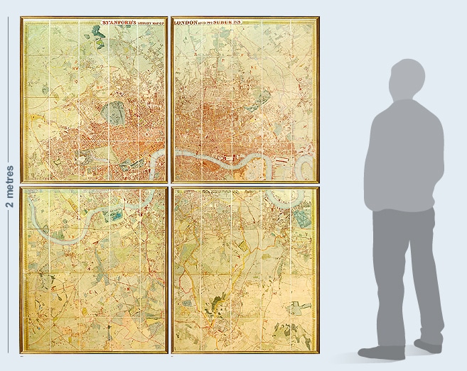
Stanford's Library Map, 1862
£
3,900.00
has been added to your cart.
View basket
Checkout
Home
About
Products
Framing