Log In
Search
Home
About
Products
Framing
0
Cart
0
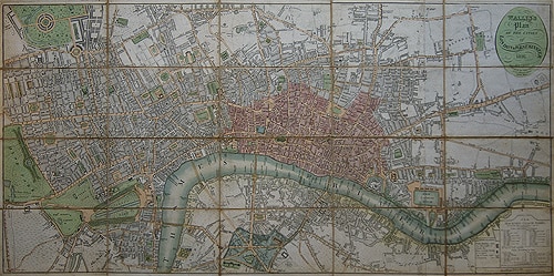
Wallis’s Plan of the Cities of London and Westminster, 1816
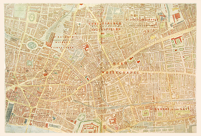
Whitechapel, Stanford’s Ordnance Survey, 1880
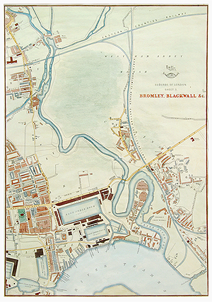
Weller Bromley and Blackwall, 1860
£
125.00
SKU:
MALO0044
Category:
London
310 x 450 mm
Add to basket
Facebook
Twitter
LinkedIn
Google +
Pinterest
Email
Add to wishlist
Description
Description
By Edward Weller for the weekly Dispatch Atlas.
Related Products
Add to wishlist
Quick View
London
Bacon's Ruby Map of London, c1900
£
180.00
Add to wishlist
Quick View
London
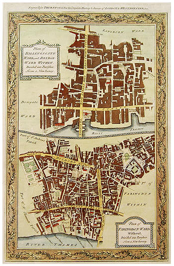
Billingsgate and Farringdon Wards, Hogg, 1784
£
145.00
Add to wishlist
Quick View
London
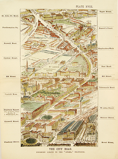
City Road, Fry, 1883
£
125.00
Add to wishlist
Quick View
London
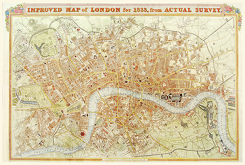
Improved map of London for 1833, from Actual Survey
£
900.00
Add to wishlist
Quick View
London
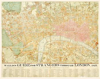
London, 1827
£
1,300.00
Add to wishlist
Quick View
London
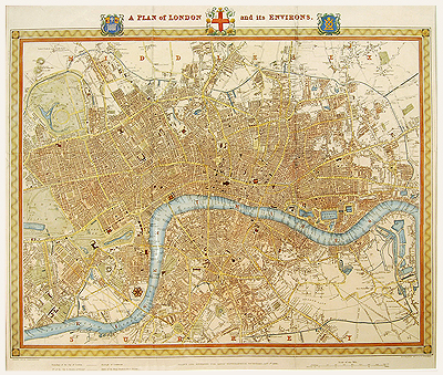
London, Creighton, 1840
£
550.00
has been added to your cart.
View basket
Checkout
Home
About
Products
Framing